Lake of the Ozarks
1,150 miles of shoreline, water-access and waterfront tracts, Ozark timber, and homes on acreage across Camden and Miller County — recreational land built around the state's premier lake, 45 miles from Fort Leonard Wood.
Our local specialists know every neighborhood, every street, and every school.
Talk to an AgentLake of the Ozarks is Missouri's largest man-made lake and the centerpiece of one of the Midwest's premier recreational land markets. Created in 1931 when the Union Electric Company built Bagnell Dam across the Osage River, the lake's serpentine shape — traced along the original river valley and its countless tributaries — produces 1,150 miles of shoreline, more than the entire coast of California. For a land buyer, that extraordinary length of shoreline means an equally extraordinary length of waterfront and water-access ground.
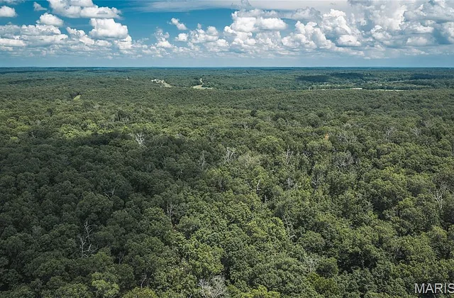
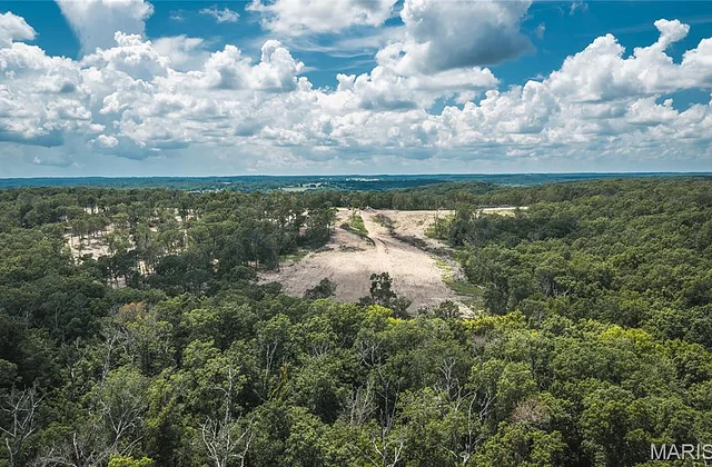
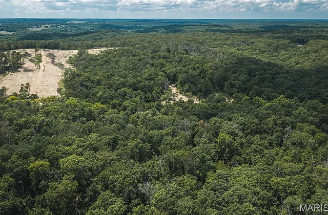
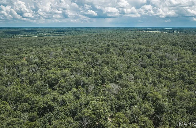
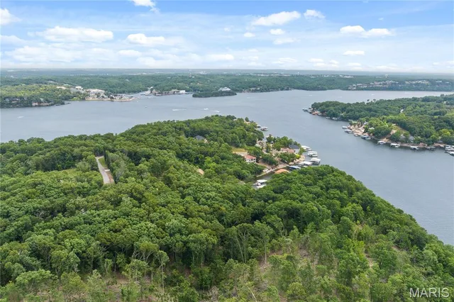
The lake reaches across Camden and Miller Counties, and the country around it is classic Ozark: timbered ridges and limestone bluffs falling to the water, hardwood draws, and pockets of cleared pasture on the better ground. Osage Beach and Lake Ozark anchor the developed northern end near Bagnell Dam; Camdenton, the Camden County seat, sits inland and serves the western lake area; and Gravois Mills, Laurie, Sunrise Beach, and the quieter arms offer ground with real seclusion and varying degrees of water access.
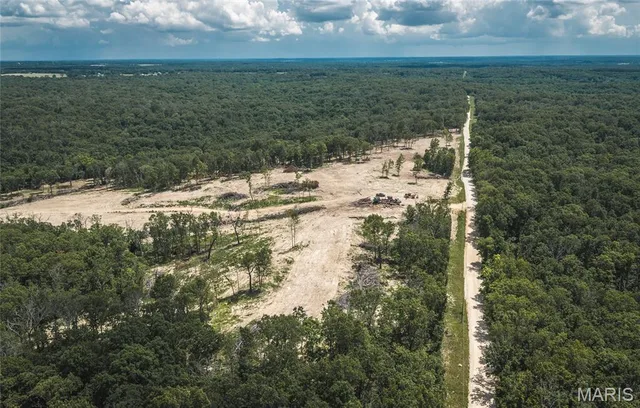
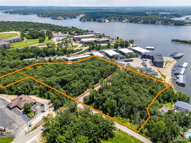
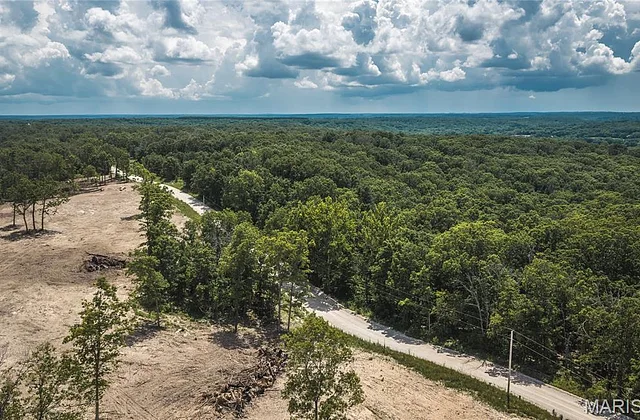
For land buyers, the area presents a genuine range: waterfront tracts with dock potential, water-access parcels a short walk or drive from a community dock or marina, interior timber and recreational ground within minutes of the lake, and larger acreage that delivers the full Ozark land experience with the lake close at hand.
Before 1931, the country now under the lake was working Ozark ground. The Osage River flowed undammed through the rugged hills, and the valley it occupied held small farms, homesteads, and villages that had grown up along its banks over more than a century of settlement. Families had cleared bottom fields, run stock on the hills, and cut timber off the ridges for generations. Then Union Electric proposed Bagnell Dam, and the valley changed forever.
Construction began in 1929 and pushed through the early years of the Great Depression, employing thousands and standing as one of the largest projects in Missouri's history. When the gates closed, the Osage Valley filled slowly — homesteads, cemeteries, and whole communities disappeared beneath the rising water, and families whose ancestors had farmed the bottoms were displaced to the higher ground that surrounds the lake today.
What emerged reshaped how this country is used and valued. The farms and timber tracts that ring the lake now carry both their old agricultural roots and a new recreational premium tied to the water. Ha Ha Tonka State Park, on a dramatic limestone bluff peninsula on the lake's western arm, preserves the ruins of an early-1900s stone castle and the springs and sinkholes around it — a reminder that this land has always drawn people who wanted to own a piece of the Ozarks.
Land & Farm in Lake of the Ozarks


Where is Lake of the Ozarks?
Browse all active listings filtered to Lake of the Ozarks, Missouri.
Search Lake of the Ozarks Listings