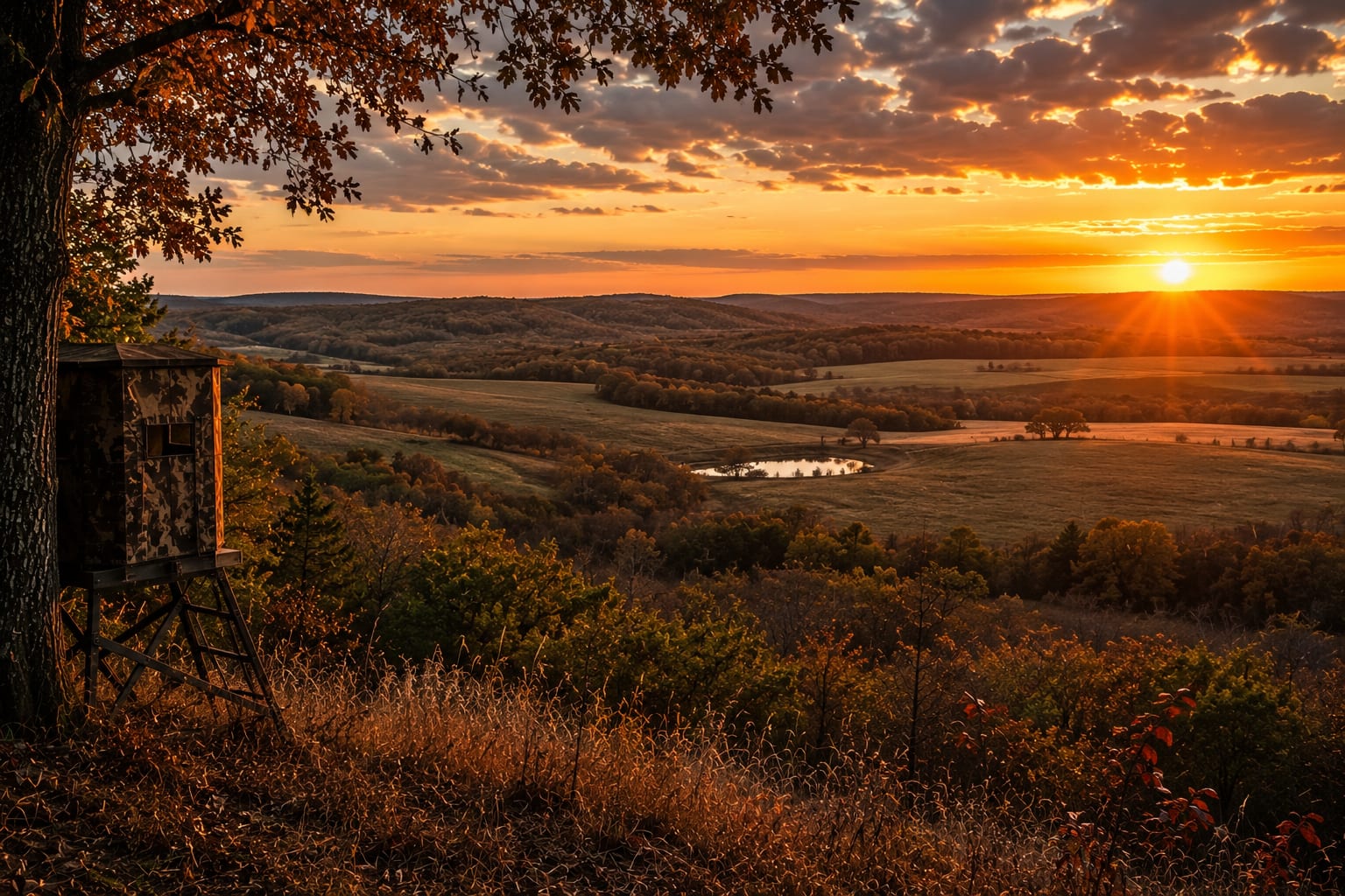
Stoddard County
Crowley's Ridge splits rich cropland from timbered river bottoms.
The Land in Stoddard County
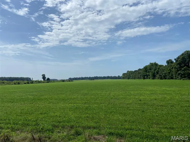
Stoddard County is one of the Bootheel's more varied tracts, where the sandy spine of Crowley's Ridge divides deep alluvial farmland from timbered upland. West of the ridge lies classic delta cropland — soybeans, corn, rice, and cotton laid out among drainage ditches — while the ridge itself and the Castor River bottoms carry hardwood timber and thick cover. That contrast is the county's draw. Farm buyers find genuinely productive ground, and hunters find whitetail, turkey, and strong waterfowl action where flooded fields meet river sloughs. The wooded lowland habitat here is a step above the wide-open row-crop counties to the south. For a buyer who wants tillable acres and real hunting ground together, Stoddard rewards a close look.
Stoddard County Land Market
Land, farm & acreage (5+ acres) in Stoddard County. Sold figures reflect closed MLS transactions over the trailing 12 months; median $/acre is based on raw land without a dwelling. Source: MARIS MLS.
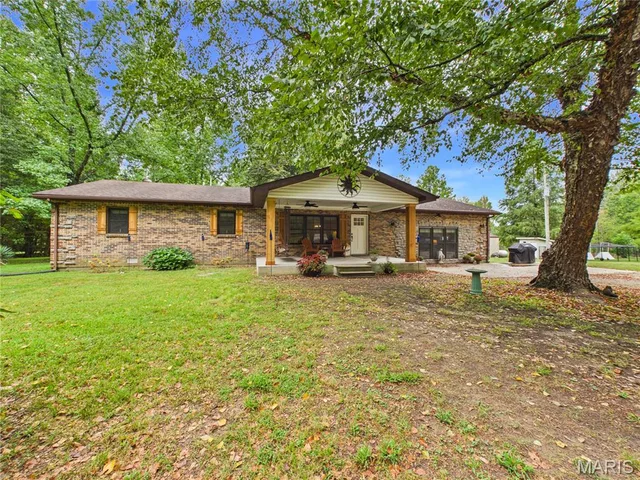
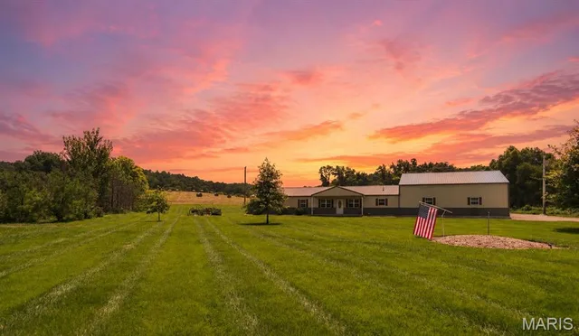
Land & Farm in Stoddard County
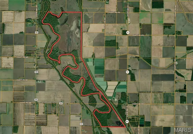


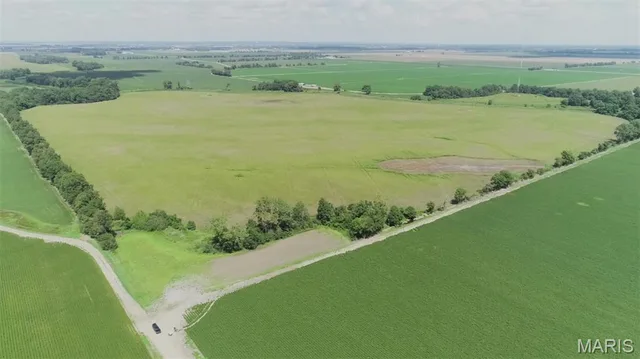
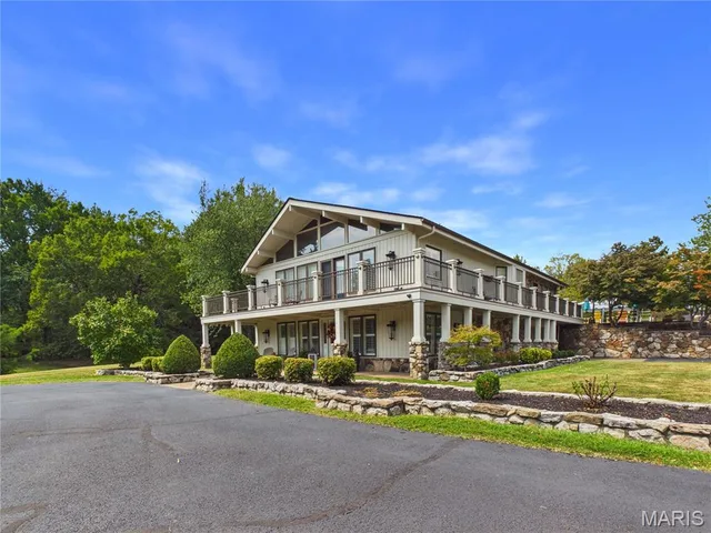
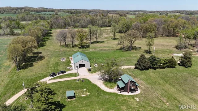
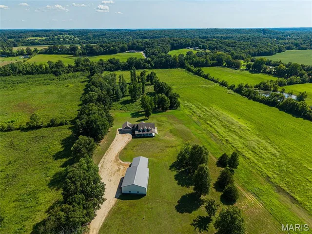
Looking for ground in Stoddard County?
Browse every active land, farm, and recreational tract in Stoddard County, or tell us what you're after and we'll put our field knowledge to work for you.