Phelps County
Spring-fed float streams and grazing ridges near the Meramec headwaters
The Land in Phelps County
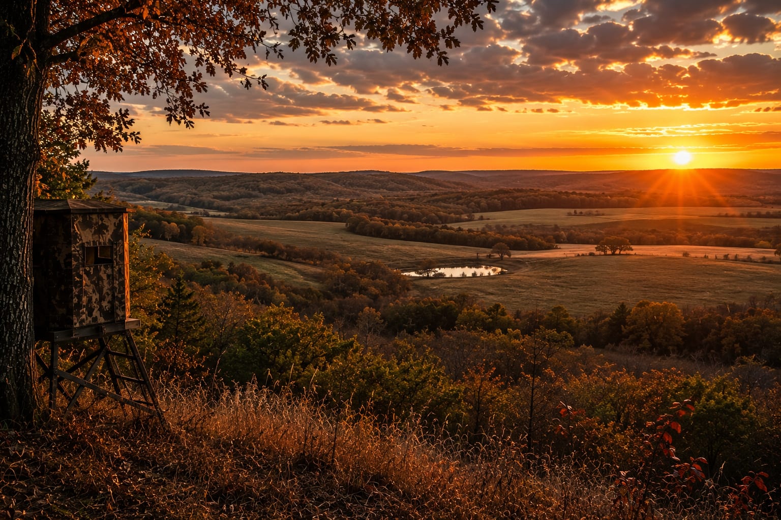
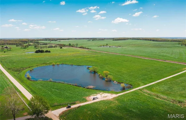
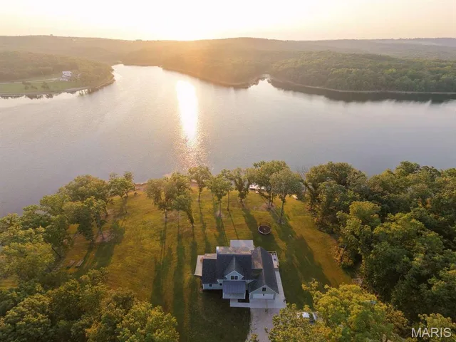
Phelps County lies on the northern edge of the Ozark Plateau, where clear headwater streams like the Little Piney and the upper Meramec cut through wooded hills and gravel-bottom valleys. The land is classic Ozark country: oak-hickory timber and shortleaf pine over thin, rocky soils that favor pasture, hay, and cattle over intensive farming. Recreational buyers are drawn to the cold, spring-fed float water and the deer and turkey that thrive in the ridge-and-hollow terrain. With Mark Twain National Forest nearby and the university town of Rolla as a regional hub, tracts here balance working ground with strong recreational appeal. It is solid country for a cattle operation, a timbered hunting parcel, or a stream-side retreat.
Phelps County Land Market
Land, farm & acreage (5+ acres) in Phelps County. Sold figures reflect closed MLS transactions over the trailing 12 months; median $/acre is based on raw land without a dwelling. Source: MARIS MLS.
Land & Farm in Phelps County



Looking for ground in Phelps County?
Browse every active land, farm, and recreational tract in Phelps County, or tell us what you're after and we'll put our field knowledge to work for you.