0000 Hwy M
About This Property
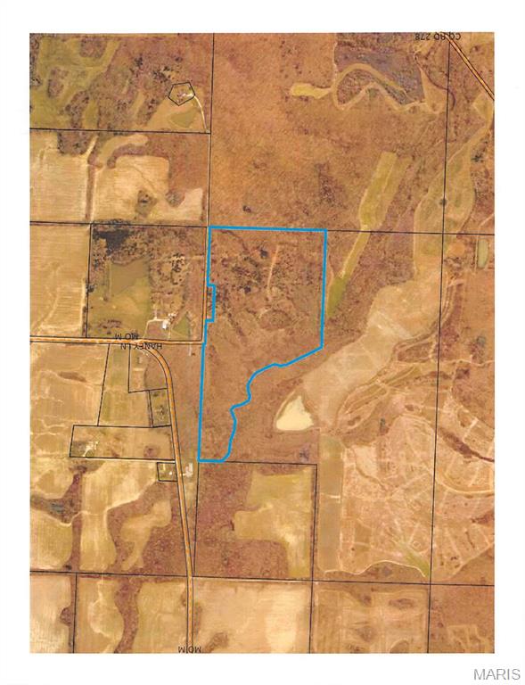
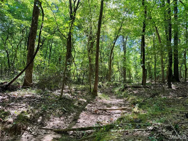
Escape to the outdoors with this exceptional tract of vacant land located just off M Highway in Bloomfield. This property is a hunter’s dream, offering prime habitat and direct adjacency to the expansive Crowley Ridge Conservation Area, encompassing over 1,500 acres of protected land. Ideal for recreational use, this parcel provides excellent opportunities for hunting, wildlife observation, and enjoying nature in a quiet, rural setting. The land features an old homestead site, adding character and potential for future improvement, along with an existing well (condition unknown).With easy access from M Highway, this property combines seclusion with convenience—making it a rare find for outdoor enthusiasts or those looking to invest in recreational land bordering conservation ground.
Land & Acreage
Land Features & Use
Water & Utilities
Financial & Terms
on file
About Stoddard County
Crowley's Ridge splits rich cropland from timbered river bottoms.
Stoddard County is one of the Bootheel's more varied tracts, where the sandy spine of Crowley's Ridge divides deep alluvial farmland from timbered upland. West of the ridge lies classic delta cropland — soybeans, corn, rice, and cotton laid out among drainage ditches — while the ridge itself and the Castor River bottoms carry hardwood timber and thick cover. That contrast is the county's draw. Farm buyers find genuinely productive ground, and hunters find whitetail, turkey, and strong waterfowl action where flooded fields meet river sloughs. The wooded lowland habitat here is a step above the wide-open row-crop counties to the south. For a buyer who wants tillable acres and real hunting ground together, Stoddard rewards a close look.
Location
Get DirectionsContact Oakhaus
A specialist will respond within 1 business hour.
Similar Land & Farm
Listing information is deemed reliable but not guaranteed and should be independently verified. IDX information provided by MARIS MLS. Listing courtesy of Young Real Estate LLC. Listed by Karen Cook.
MLS# MIS26015635 · Key: MIS206163045 · Last updated: Jul 28, 2026
© 2026 MARIS MLS. All rights reserved. The data relating to real estate for sale on this website comes in part from the Broker Reciprocity Program of MARIS MLS. Real estate listings held by brokerage firms other than Keller Williams Local are marked with the Broker Reciprocity logo.