

004 BB Highway
About This Property
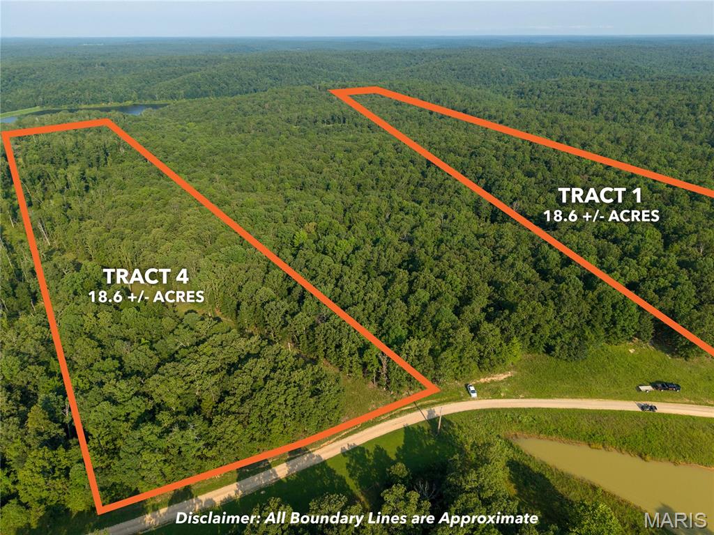
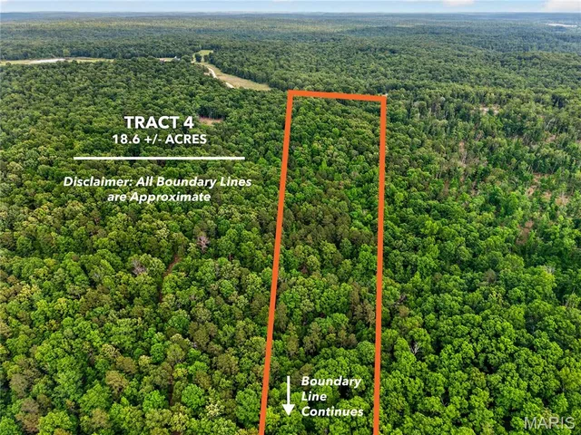
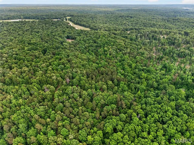
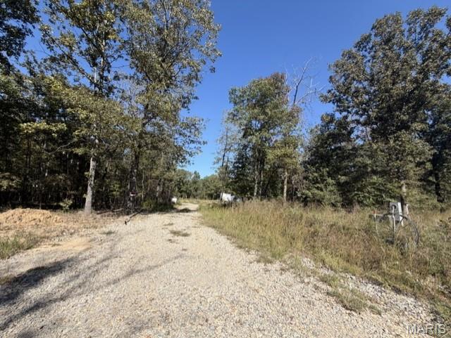
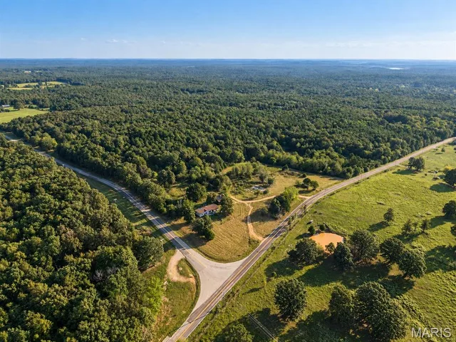
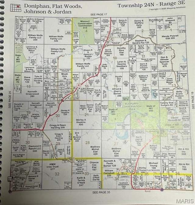
**The parent tax ID for this lot / parcel is: 096013000000002005. This listing is for tract 4 only (18.6 +/- acres). Own the ultimate recreational basecamp with this freshly surveyed and marked 18.6-acre tract in Ripley County, Missouri. Nestled in the Fairdealing area just north of Highway 160, this property sits alongside a beautiful section of Highway BB, placing your clearly defined boundary lines from a recent survey right near the doorstep of world-class public land. The property boasts excellent county road frontage and features electric power directly on the property. This is a major benefit for a build site, off-grid cabin, hunting camp, or camper setup. Positioned nearby the 1,404-acre Mudpuppy Conservation Area, this tract acts as a massive, protected wildlife buffer. The land is heavily timbered and rich with dense holding cover, unique rock features, and seasonal creeks that create excellent natural stand locations. With the Little Black River flowing nearby, this eco-system is highly active, producing endless deer sign, active scrapes, and excellent turkey roosting. It offers private exclusivity and distinct, marked borders with immediate access to thousands of bonus acres. With world class hunting, fishing and floating at nearby access points, this property is a must see. Seclusion, privacy, outdoor enthusiasts' dream, and a clean canvas at this beautiful piece of ground. If you are looking for your own acreage, hunting camp, adventure base camp or a getaway in the Ozarks...this 18.6 +/- acres is a wonderful opportunity. Property Features: 18.6 +/- Acres: Thick maturing Ozark timber providing excellent bedding cover Road Frontage: Extensive, easily accessible county road frontage Abundant Wildlife: High-density corridor famous for whitetail deer and wild turkey Live Water Features: seasonal creeks and wet-weather runoff streams on site Electric/power is available with power pole on site Mudpuppy CA & River Proximity: Sits moments from the 1,404-acre Mudpuppy Conservation Area and the beautiful Little Black River Doniphan, MO & Current River nearby Pockets of Mature Pines mixed with marketable hardwoods This listing represents one individual parcel. Seller owns additional neighboring tracts that may be made available for purchase in the future. Contact listing agent for details on future availability. Seller owns an adjacent parcel currently listed for sale (MLS#26049501).
Land & Acreage
Land Features & Use
Financial & Terms
About Ripley County
Where the Current River meets the Arkansas line, timber and clear water.
Ripley County anchors the southern edge of the Missouri Ozarks along the Arkansas border, where forested hills give way toward flatter ground to the south. The Current River and the Little Black wind through the county, drawing floaters and anglers to their clear, gravel-bottomed runs. The land is a working blend of timber, cattle pasture, and hay ground, with hardwood ridges and bottom fields that hunt well for deer and turkey. Mark Twain National Forest ground lies within reach. It's affordable, productive country that suits a range of buyers, from a cattle operation to a river-access recreational place or a timbered hunting tract. For those wanting Ozark character with room to work and roam, Ripley County holds real appeal.
Location
Get DirectionsContact Oakhaus
A specialist will respond within 1 business hour.
Similar Land & Farm
Listing information is deemed reliable but not guaranteed and should be independently verified. IDX information provided by MARIS MLS. Listing courtesy of Midwest Land Group LLC. Listed by Andy Ogle.
MLS# MIS26049548 · Key: MIS207817832 · Last updated: Oct 12, 2026
© 2026 MARIS MLS. All rights reserved. The data relating to real estate for sale on this website comes in part from the Broker Reciprocity Program of MARIS MLS. Real estate listings held by brokerage firms other than Keller Williams Local are marked with the Broker Reciprocity logo.