0 County Road 280
About This Property
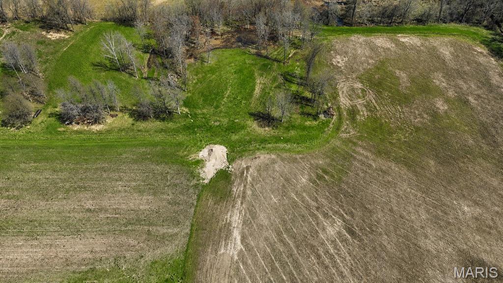
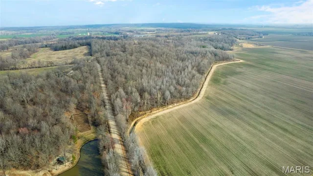
A rare opportunity to own approximately 20 acres of privately managed wetland habitat near Mingo National Wildlife Refuge and Duck Creek Conservation Area—an area widely recognized for waterfowl and outdoor recreation. Designed with waterfowl management in mind, the property features an irrigation system and a water-control structure incorporated into the levee system, allowing water levels to be managed more efficiently. The tract offers potential for waterfowl hunting, wildlife habitat, recreation and seasonal enjoyment in the heart of Southeast Missouri’s celebrated waterfowl country. Whether you are looking to expand your hunting ground, establish a private recreational retreat or secure land near two major conservation areas, this property offers a unique opportunity. The adjoining custom home, approximately 5 acres and 3,000+ square-foot shop are also available separately, creating the option to purchase the entire property. Home, shop and approximately 5 acres: MLS #24017795. Home, shop and entire approximately 25-acre property: MLS #24019337.
Land & Acreage
Land Features & Use
Water & Utilities
Financial & Terms
Tbd
About Stoddard County
Crowley's Ridge splits rich cropland from timbered river bottoms.
Stoddard County is one of the Bootheel's more varied tracts, where the sandy spine of Crowley's Ridge divides deep alluvial farmland from timbered upland. West of the ridge lies classic delta cropland — soybeans, corn, rice, and cotton laid out among drainage ditches — while the ridge itself and the Castor River bottoms carry hardwood timber and thick cover. That contrast is the county's draw. Farm buyers find genuinely productive ground, and hunters find whitetail, turkey, and strong waterfowl action where flooded fields meet river sloughs. The wooded lowland habitat here is a step above the wide-open row-crop counties to the south. For a buyer who wants tillable acres and real hunting ground together, Stoddard rewards a close look.
Location
Get DirectionsContact Oakhaus
A specialist will respond within 1 business hour.
Similar Land & Farm
Listing information is deemed reliable but not guaranteed and should be independently verified. IDX information provided by MARIS MLS. Listing courtesy of Midwest Real Estate. Listed by Danielle Burchard.
MLS# MIS26053170 · Key: MIS207992466 · Last updated: Aug 23, 2026
© 2026 MARIS MLS. All rights reserved. The data relating to real estate for sale on this website comes in part from the Broker Reciprocity Program of MARIS MLS. Real estate listings held by brokerage firms other than Keller Williams Local are marked with the Broker Reciprocity logo.