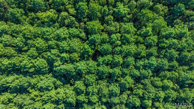
0 County Road 307
About This Property
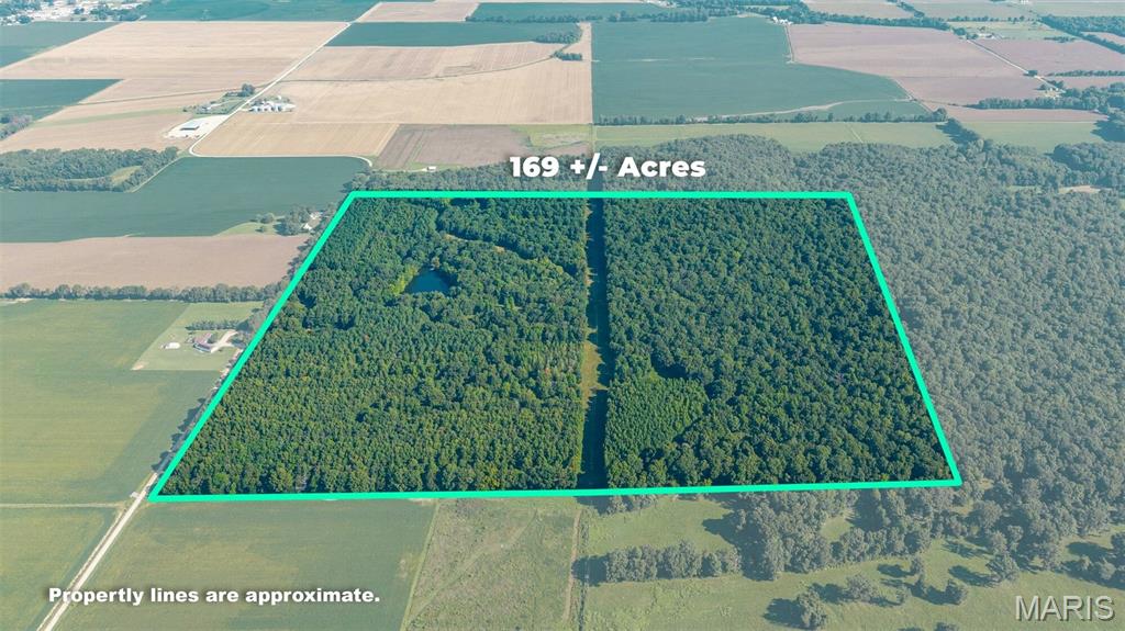
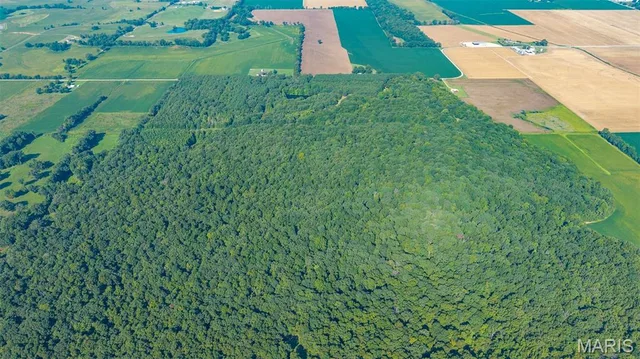
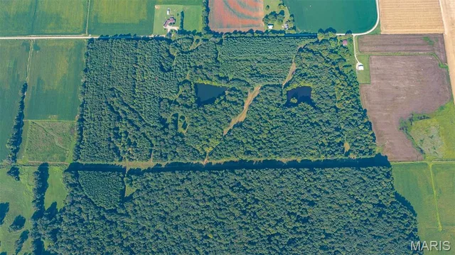
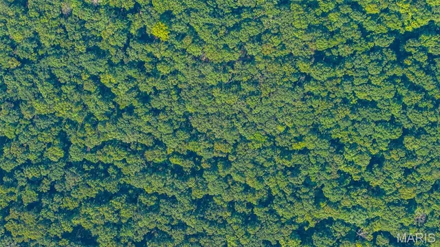
Escape to your own private wilderness! Located along County Road 307 just south of Advance, MO and only 25 miles from Cape Girardeau, this 169.1 acre, wooded masterpiece offers a rare, stunning combination of scale, beauty, and ready-to-use recreational infrastructure. The land unfolds across rolling hills cloaked in mature timber -- an impressive mix that provides both immediate visual pleasure and long-term peace and privacy. Two, 2+ acre ponds sit quietly among the trees, offering wildlife habitat (turkey and deer spotted frequently), fishing, and those still-water reflections that make a wildlife retreat complete. Miles of cleared trails wind through the woods, perfect for riding, hiking, or exploring the full acreage from day one without the need for a 'dozer. This property works as a private hunting reserve, a family (or multi-family/generation) recreational compound, a beautiful timber investment, or a secluded homesite with acreage to spare. The terrain is varied enough to feel expansive, yet the trails and ponds give it an organized, usable character that raw, wooded tracts often lack. You bring your vision. The woods, water, and trails are already here.
Land & Acreage
Land Features & Use
Water & Utilities
Financial & Terms
About Stoddard County
Crowley's Ridge splits rich cropland from timbered river bottoms.
Stoddard County is one of the Bootheel's more varied tracts, where the sandy spine of Crowley's Ridge divides deep alluvial farmland from timbered upland. West of the ridge lies classic delta cropland — soybeans, corn, rice, and cotton laid out among drainage ditches — while the ridge itself and the Castor River bottoms carry hardwood timber and thick cover. That contrast is the county's draw. Farm buyers find genuinely productive ground, and hunters find whitetail, turkey, and strong waterfowl action where flooded fields meet river sloughs. The wooded lowland habitat here is a step above the wide-open row-crop counties to the south. For a buyer who wants tillable acres and real hunting ground together, Stoddard rewards a close look.
Location
Get DirectionsContact Oakhaus
A specialist will respond within 1 business hour.
Similar Land & Farm

Listing information is deemed reliable but not guaranteed and should be independently verified. IDX information provided by MARIS MLS. Listing courtesy of Lorimont L.C.. Listed by Chris Cole.
MLS# MIS26057492 · Key: MIS208201358 · Last updated: Oct 12, 2026
© 2026 MARIS MLS. All rights reserved. The data relating to real estate for sale on this website comes in part from the Broker Reciprocity Program of MARIS MLS. Real estate listings held by brokerage firms other than Keller Williams Local are marked with the Broker Reciprocity logo.