00 Bond Road
About This Property
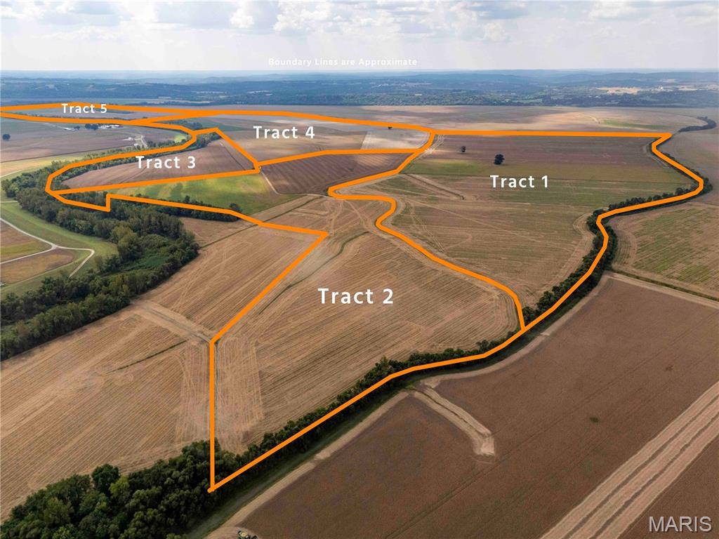
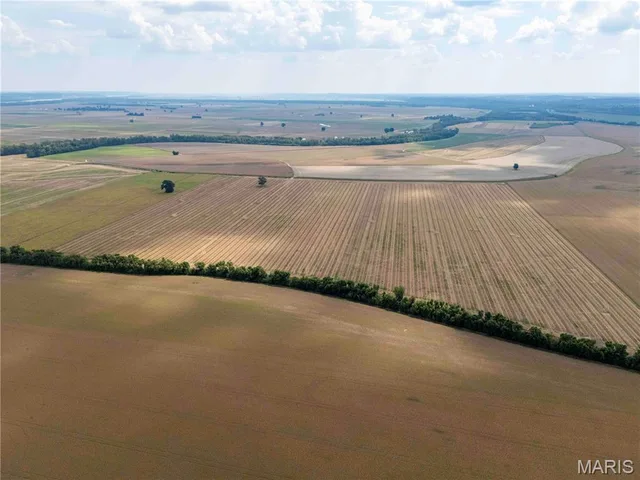
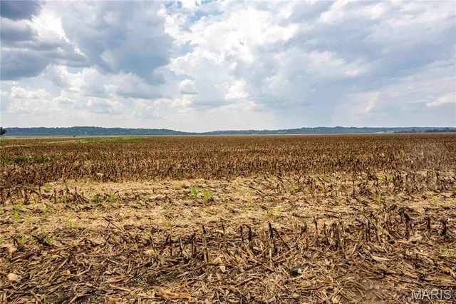
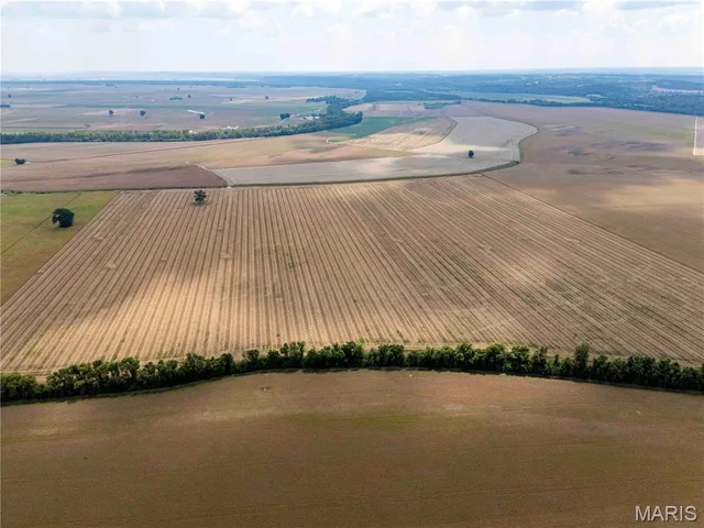
This is an auction; please see our website for full auction details: trophypa.com. AUCTION LISTING - List price is not indicative of Seller’s final reserve amount. This property is part of an online bidding event. This sale will be executed with a no-contingency contract provided by brokerage representing the Seller. See MLS Supplement Document for complete details. Kaskaskia Island is the only piece of Illinois that sits west of the Mississippi River, and this 1,020.3± acre farm runs along its western edge. The French founded Kaskaskia in 1703. George Rogers Clark took it for the Americans in 1778, and it served as Illinois' first state capital from 1818 to 1820. Floods starting in 1844, and the great cutoff of 1881, pushed the Mississippi east of the old town and made the island. In 1970 the U.S. Supreme Court settled for good that this ground belongs to Illinois. Very little of it ever changes hands. Families here hold land for generations, and this farm is no exception. The Cohen family has held parts of this ground for more than 150 years. They farmed it before the Mississippi changed course and cut Kaskaskia off from the Illinois mainland. The legal description reaches back to the island's beginnings: Lots A, B and C of Island No. 15, a river island first platted by the General Land Office in the 1830s, together with part of U.S. Surveys 224 and 225, Claim 703, which date to the original French claims at Kaskaskia. The Gordon Cohen Farm Trust Foundation now offers the farm for sale for the first time in generations. The farm is 742± acres in Randolph County, Illinois, and 278.3± acres in Ste. Genevieve County, Missouri. Idlewild Slough, the state line, divides the two. Mitchell Slough bounds the farm on the north, and the public levee runs along its south and east sides. It lies west of Bond Road and the village of Kaskaskia, with a gravel lane off Bond Road leading onto the property. The farm is protected by Ste. Genevieve Levee System No. 2. About 94 percent of it is tillable: roughly 886 acres of levee-protected cropland. The remaining 67 acres are timber and waste, mostly along the east edge. This is flat, workable river-bottom ground. The soils are predominantly Darwin and Wabash silty clays, with Haynie and Nameoki on the sand ridges in the northeast corner. A few low pockets in the central and southern fields hold water in wet years. There are no buildings and no homesite; this is a straight farming operation. The cropland is under a long-term cash lease through the 2031 crop year. It pays $145.20 per crop acre for 2026 through 2028, or roughly $138,000 a year gross on about 953 crop acres. Rent for 2029 through 2031 will be renegotiated before January 1, 2029, with any increase capped at 10 percent. That gives a buyer six crop years of steady income on a farm this size. Farms on Kaskaskia Island rarely come to market, and a contiguous block of more than a thousand acres with this history may not come around again.
Land & Acreage
Land Features & Use
Financial & Terms
About Ste. Genevieve County
Mississippi bottomland meets Ozark bluff country, deep-rooted farm ground.
Ste. Genevieve County runs from the rich bottomland of the Mississippi River up into the rugged, timbered bluffs of the Ozark border. It's a county of contrasts: productive river-bottom farm ground and grain fields along the floodplain, and steep wooded hills, sandstone glades, and clear spring branches rising to the west. That mix suits many buyers, from a bottomland row-crop farm to a hillside cattle place or a timbered hunting tract that holds strong deer and turkey. State forest and conservation land add public access and scenery. Rooted in one of Missouri's oldest settled landscapes, the county offers both working farm ground and recreational Ozark country. For versatility across bottom and hill, Ste. Genevieve stands out.
Location
Get DirectionsContact Oakhaus
A specialist will respond within 1 business hour.
Listing information is deemed reliable but not guaranteed and should be independently verified. IDX information provided by MARIS MLS. Listing courtesy of Trophy Properties & Auction. Listed by Jake Brown.
MLS# MIS26062141 · Key: MIS208433556 · Last updated: Sep 25, 2026
© 2026 MARIS MLS. All rights reserved. The data relating to real estate for sale on this website comes in part from the Broker Reciprocity Program of MARIS MLS. Real estate listings held by brokerage firms other than Keller Williams Local are marked with the Broker Reciprocity logo.