TBD TBD - Possibly Compass Road
About This Property
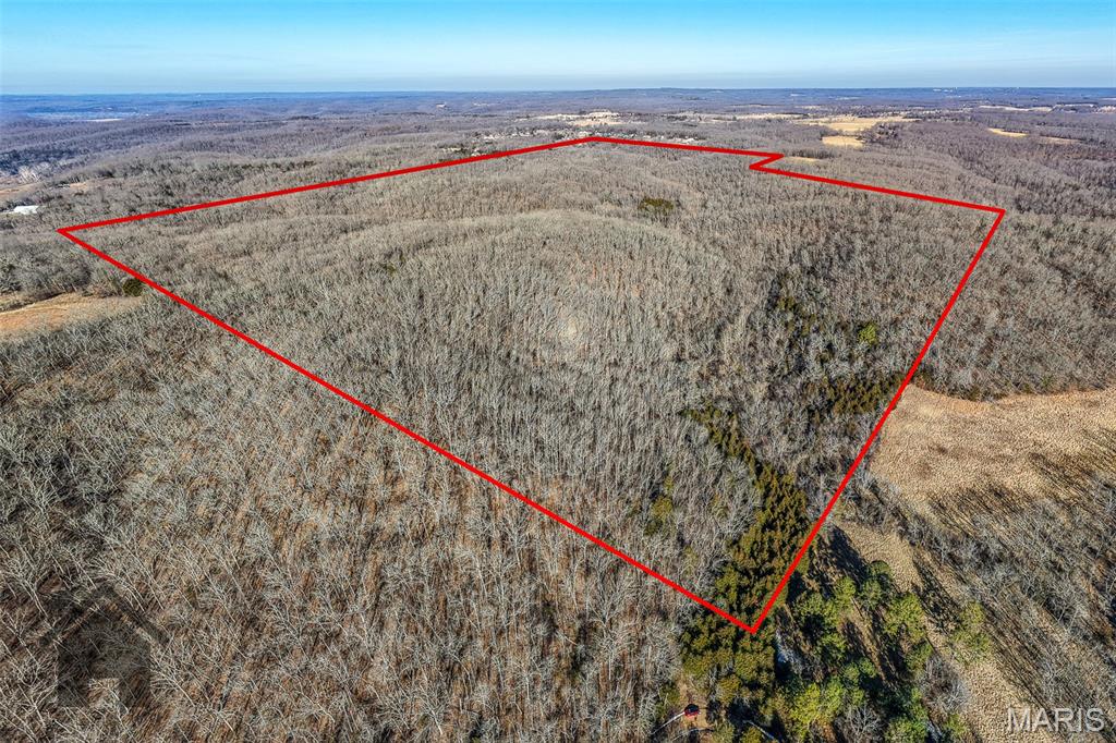
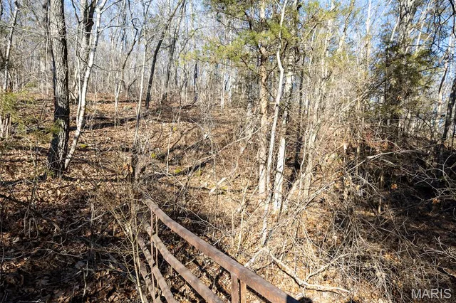
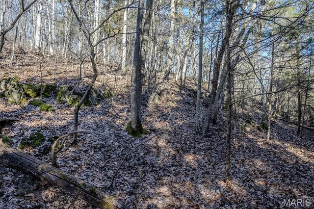
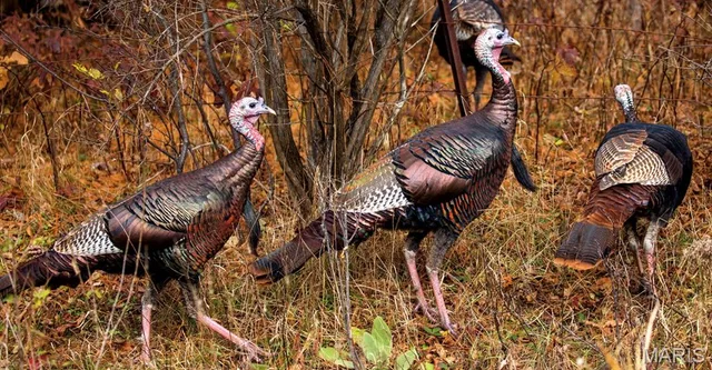
Unspoiled native Missouri land in its natural state—approximately 175 acres of wooded hills and rolling valleys. A portion of the acreage is in a flood plain. The GIS and flood plain map indicate a creek on part of the property. Please see the MLS flood plain map if interested.
Land & Acreage
Land Features & Use
Water & Utilities
Structures & Outbuildings
Financial & Terms
SW4 S 15 ACRES SW SW4
About Pulaski County
Big Piney bottoms and timbered ridges in the heart of the Ozarks
Pulaski County sits squarely in the Missouri Ozarks, where the Gasconade and Big Piney rivers carve through forested hills and open fertile bottomland. Buyers here find a classic mix of rolling oak-hickory timber, shortleaf pine ridges, and creek-bottom pasture that runs cattle and puts up hay. The thin, rocky uplands lend themselves to grazing and recreational holdings rather than heavy row crop. Whitetail deer and turkey work the hardwood draws, and river frontage adds fishing and floating value. With Fort Leonard Wood anchoring the local economy and Mark Twain National Forest close at hand, this is dependable country for a working cattle place, a hunting retreat, or a recreational tract with water and cover in good measure.
Location
Get DirectionsContact Oakhaus
A specialist will respond within 1 business hour.
Similar Land & Farm

Listing information is deemed reliable but not guaranteed and should be independently verified. IDX information provided by MARIS MLS. Listing courtesy of Walker Real Estate Team. Listed by Debbie Austin.
MLS# MIS26056863 · Key: MIS208169110 · Last updated: Sep 2, 2026
© 2026 MARIS MLS. All rights reserved. The data relating to real estate for sale on this website comes in part from the Broker Reciprocity Program of MARIS MLS. Real estate listings held by brokerage firms other than Keller Williams Local are marked with the Broker Reciprocity logo.